Aerial Property Intelligence with Impact.

Contact For A Demo

Take your commercial property operations to new heights with ID Vision by ID Plans. Our nationwide drone service captures high-resolution aerial imagery and video that goes far beyond marketing—helping you document property condition, reduce risk, and manage smarter.

What You Get from ID Vision

ID Vision is designed to make your property management and marketing more efficient, giving you the tools to streamline processes and enhance your property’s visibility with ease.

Showcase Your Property Like Never Before

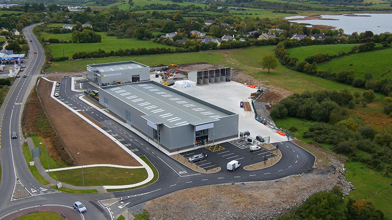
Traditional property images don’t do justice to the full picture. With high-quality drone footage, you can capture everything — from roof conditions and parking lots to signage and nearby structures. This detailed aerial view lets potential tenants or buyers see your property’s unique features from a unique perspective that’s hard to replicate with ground-level photos.

Manage Smarter, From Anywhere

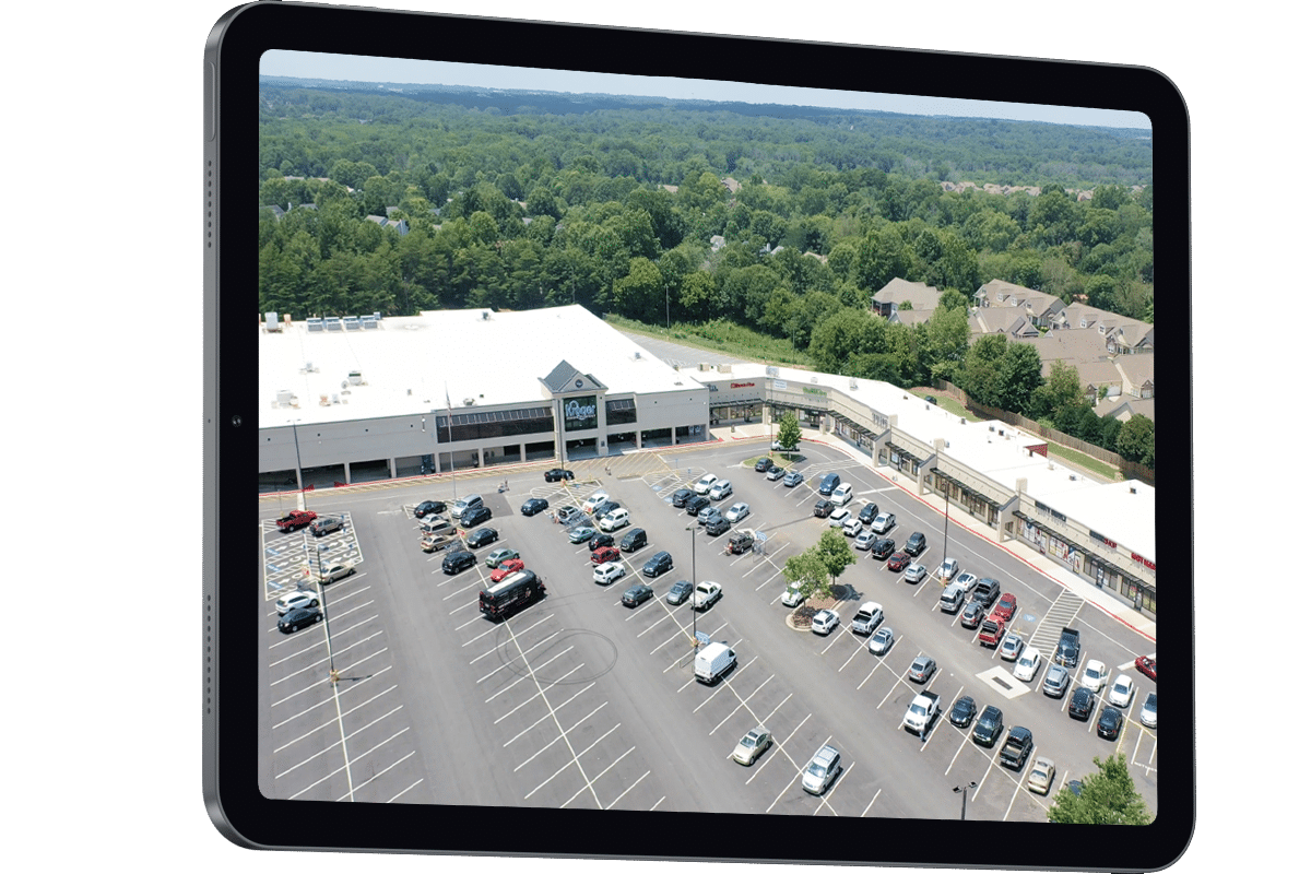
Visualize rooflines, parking lots, signage, and exterior conditions without ever stepping onsite. ID Vision gives you the clarity to track asset health, spot issues early, and streamline maintenance and budgeting—all from your desktop. Our up-to-date drone imagery replaces frequent site visits and helps you manage multiple properties more efficiently, saving time and reducing operational costs.

Consistent, Reliable Imagery Everywhere

Don’t waste time dealing with different vendors for each property. ID Vision offers you consistent, high-quality aerial imagery nationwide. You can rely on us to deliver the same level of excellence no matter the location, saving both time and money while ensuring uniformity across all your properties.

Schedule your demo.

Schedule your custom ID Vision demo and learn how we can help increase productivity with our property management software.

Showcase, Safeguard, and Scale Your Property

With ID Vision, you don’t just get beautiful aerial footage—you get a strategic tool to protect your investment. Capture high-resolution imagery of roofs, parking lots, signage, and surrounding assets to attract tenants, support marketing, or build a pre-storm condition file for insurance and restoration claims. Unlike Google Maps, which refreshes its images every few years, we provide yearly updates that deliver 20–40x the detail of Google Maps.
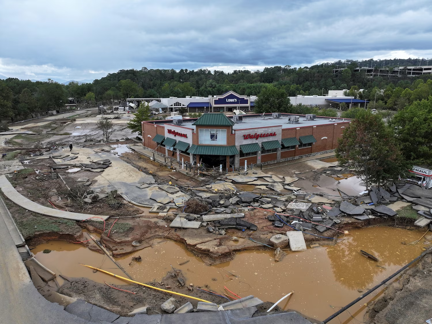
Whether it’s a hurricane, flood, or structural damage, having accurate “before and after” drone imagery is essential. ID Vision helps you document conditions with precision—supporting faster insurance claims, smoother restoration, and more confident decision-making. And when the unexpected happens, you can easily request a new capture right from our portal—fast, simple, and on-demand.

Why You’ll Love ID Vision

ID Vision makes managing and marketing your properties easier than ever, offering consistent, high-quality imagery and streamlined tools that save you time, reduce costs, and elevate your property’s appeal.

Automatic Updates

Our annual subscriptions mean your property data is always up-to-date, automatically. You don’t have to worry about manually refreshing your images or maps. Everything is handled for you, keeping your property profiles fresh and ready when you need them.

Easy Property Analytics

Managing multiple projects can feel like juggling. Our platform makes it simple to analyze property data and track everything from maintenance schedules to budgeting. With easy access to detailed property profiles and analytics, you can streamline your operations, saving time and reducing the risk of costly mistakes.

Speed Up Leasing and Marketing

Aerial imagery doesn’t just help with management—it also gives your marketing efforts a major boost. Use high-quality drone footage to create powerful marketing materials that capture attention and make your properties stand out. Whether it’s for listing sites or promotional materials, aerial shots grab the viewer’s attention in ways traditional photos can’t. This can help you lease or sell your properties faster.

Nationwide Consistency

With our nationwide coverage, you no longer have to coordinate with multiple local drone operators. We handle all your aerial imagery needs, ensuring you get consistent, high-quality images across every property, wherever they’re located. This means you get the same professional standard and streamlined service no matter how many properties you manage.

Ready to Elevate Your Property Game?

At ID Plans, we’re committed to helping you get the most out of your commercial properties. From property management to marketing, our drone photography and video services provide the clarity and detail you need to make smarter decisions and stand out in a competitive market. Schedule a custom demo today to see how our aerial solutions can improve your property management efficiency, enhance your marketing strategy, and boost your productivity.
Contact For A Demo

What they say about us.