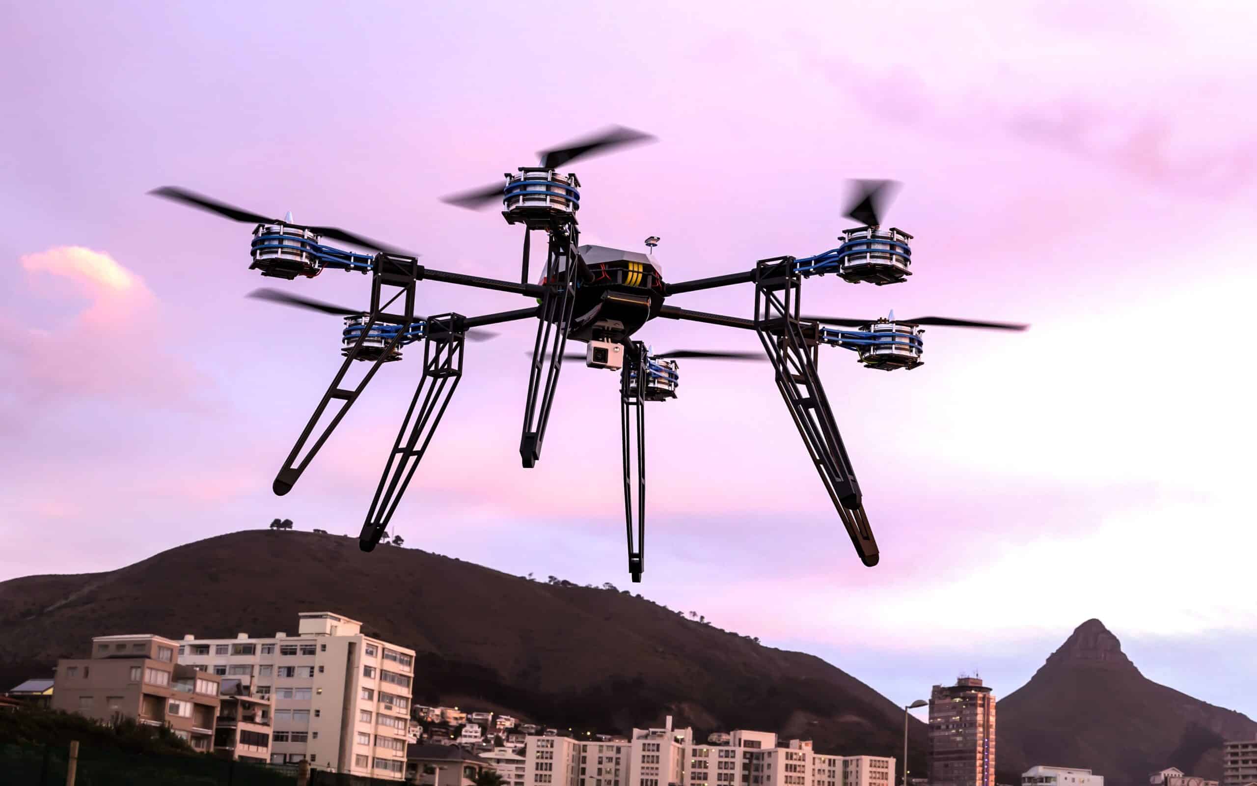
Technology surrounding drone photography is changing at a rate that many people cannot keep up with. Data gathering on commercial real estate property is more technologically advanced than ever. Increasingly, companies are turning to drones to collect this data. They’re not just used as toys or to film action movies anymore. Businesses are recognizing their potential uses in the real world. Everyone in the commercial real estate ecosystem can benefit from using drone technology. Whether you’re an insurance company inspecting properties for damage after a disaster, a construction company surveying a property’s progress, or a real estate agent wanting to market a property from the air, drones can help. Drones provide an aerial perspective that no other camera can offer. Let’s take a look at some of the ways you can use drones in your business…
Inspecting properties with drone video
If you’re in the construction, insurance or real estate industry, you’ve probably heard the term
“before and after” used. This refers to a pair of images—one taken before a disaster and one after. Taken by a drone, these images can make all the difference when it comes to a company paying out on a claim. These images are essential if you’re an insurance company and someone makes an insurance claim on a property. You need to know the extent of the damage in order to assess the extent of the claim. You don’t want to underpay someone who has been through a disaster, but you don’t want to overpay either. Drone images can help you see what damage has been done, allowing you to make an accurate decision. In construction, drone images are helpful in a similar way. You don’t have to climb a tall building to see if the scaffolding is set up correctly. With a drone, you can easily monitor progress from the ground.
Marketing properties with drone photography
Anyone who has ever worked in real estate will tell you that the most important part of the sale is the first impression. If you want to make sure your property sells, you need to get people inside it as soon as possible. But how do you do that if it’s already occupied by tenants? If you have a commercial property, you can use drone photography to create virtual tours of the inside of your property. You can then use these tours to market your property to potential tenants or buyers. You can use the land outside your property for drone photography too. If you’re trying to sell your property, you can use drone photography to make the outside look even more desirable. Drone photography is an excellent way to market properties because it can be done from the air. This means you can photograph your property from any angle, even if it’s hard to access. This makes it easier to show off its best features.
Helping with construction and renovations
In addition to being able to take high-quality photos of your property, drones can also be used to help with construction and renovations. You might want to check with the relevant authorities before you do this, but you can use drones to measure roof lines or take measurements on hard-to-reach areas. You can also use drones to monitor progress when renovating or building a large construction project. This can help you keep track of which areas are being worked on and which areas need more help. You can also use drones to survey the site before beginning construction. This allows you to see where the best places would be to start building.
Using drone photography with insurance claims
Insurance claims happen every day. Unfortunately, they also often result in a company not paying out. If a company refuses to pay out on a claim, the person making the claim can submit the evidence they have collected. This includes the before and after images, any photos or videos of the damage and any reports the person has made about the situation. This helps the insurance company see the situation from the perspective of the person making the claim. If you’re an insurance company and you receive a claim, you want to make sure you pay it out as soon as possible. You want to avoid paying out more than necessary, but you don’t want to underpay someone who has been through a disaster. If you receive an extensive claim, you can use drone images to see the extent of the damage and make an accurate decision.
ID Vision and Remote Property Manager (RPM)
Drones are revolutionizing many industries, including construction, insurance, and real estate. Aerial photography and videography allows these industries to see things that were difficult or impossible before. Drones can also get to places that people cannot, like the tops of buildings or inside places that are hard to access. Drones are a great way to promote your business, improve your services and provide new opportunities for your business. If you’re looking for commercial drone photography, turn to ID Vision by ID Plans. Our professional drone pilots will come and have a drone photo shoot and video shoot of your property. ID Vision images have 20-40x higher resolution than
Google Maps. Our orbital video of the property utilizers a 360-degree digital camera for every building on the property for a “boots on the ground” view.
To learn more about how ID Plans technology can help you manage your properties, please
contact us today to schedule a demo.